Contents
 Contents
Where should you look for mushrooms in Switzerland?
Look for a readable landscape rather than secret coordinates, then compare habitats, access and conditions while protecting sensitive places.
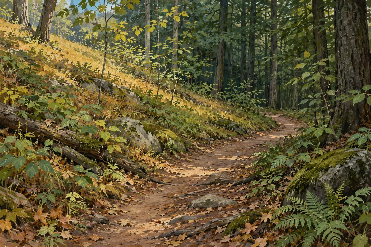
Choose landscapes, not pins
An isolated coordinate says little about why an observation occurred there or whether the context still exists. Begin with broader landscape questions: which forest types, transitions, slopes and accessible routes can you compare? Distribution records can describe documented presence at an appropriate scale, but they do not promise a current fruiting body or authorise collection. MycoRadar helps narrow sectors while deliberately keeping the field visit central. A place becomes useful because you can read it, not because someone once shared a pin.
Compare habitat transitions
Routes crossing a forest edge, changes in canopy, different ground cover or varied exposure can support richer observation because they let you compare contexts. These transitions do not guarantee more mushrooms, and they do not identify any species. They simply offer visible differences to document. Move slowly and record what actually changes. Avoid assigning an unseen tree species, soil chemistry or ecological relationship from a distant impression. A precise description of what is visible is more valuable than an elaborate but unsupported habitat label.
- Choose a route with two or more readable habitat contexts.
- Check legal access and local restrictions first.
- Avoid seeking or publishing precise sensitive locations.
- Plan observations that do not require leaving authorised paths.
 Choose a route with two or more readable habitat contexts.
Add access and protection constraints
A promising habitat is not automatically an appropriate destination. Confirm whether paths are open, collection is allowed, local quantity or timing restrictions apply, and the area is outside strict protection. Swiss rules can vary by canton and municipality, while the Swiss National Park prohibits collecting natural objects. Consult current official information for the exact place. When the status is unclear, choose another sector. Responsible planning treats legal and ecological limits as part of the map, not as obstacles added afterward.
Build knowledge through repeat visits
Return to accessible places at different moments and compare your notes without assuming that one visit establishes a pattern. Record date, visible conditions, habitat description and the quality of access. If you find nothing, the visit still documents the place. If you find a specimen, photograph its complete context and avoid revealing a sensitive exact location. Repeated observation turns a generic sector into a well-understood landscape while keeping uncertainty, local rules and the needs of other forest users in view.
Sources and review

Related guides
Habitat literacy

Forest habitats
Habitat gives an observation context, not a species name. Learn to describe visible forest features without filling gaps with assumptions.
Map literacy

Read the map
The map organises broad signals for comparison. Its job is to help you choose where to observe, not to reveal mushrooms hidden on the ground.
Planning method

Plan an outing
A useful outing begins with a route and a question about the landscape, not with a promise that a desired mushroom will be waiting there.