Contents
 Contents
How to read the MycoRadar mushroom map
The map organises broad signals for comparison. Its job is to help you choose where to observe, not to reveal mushrooms hidden on the ground.
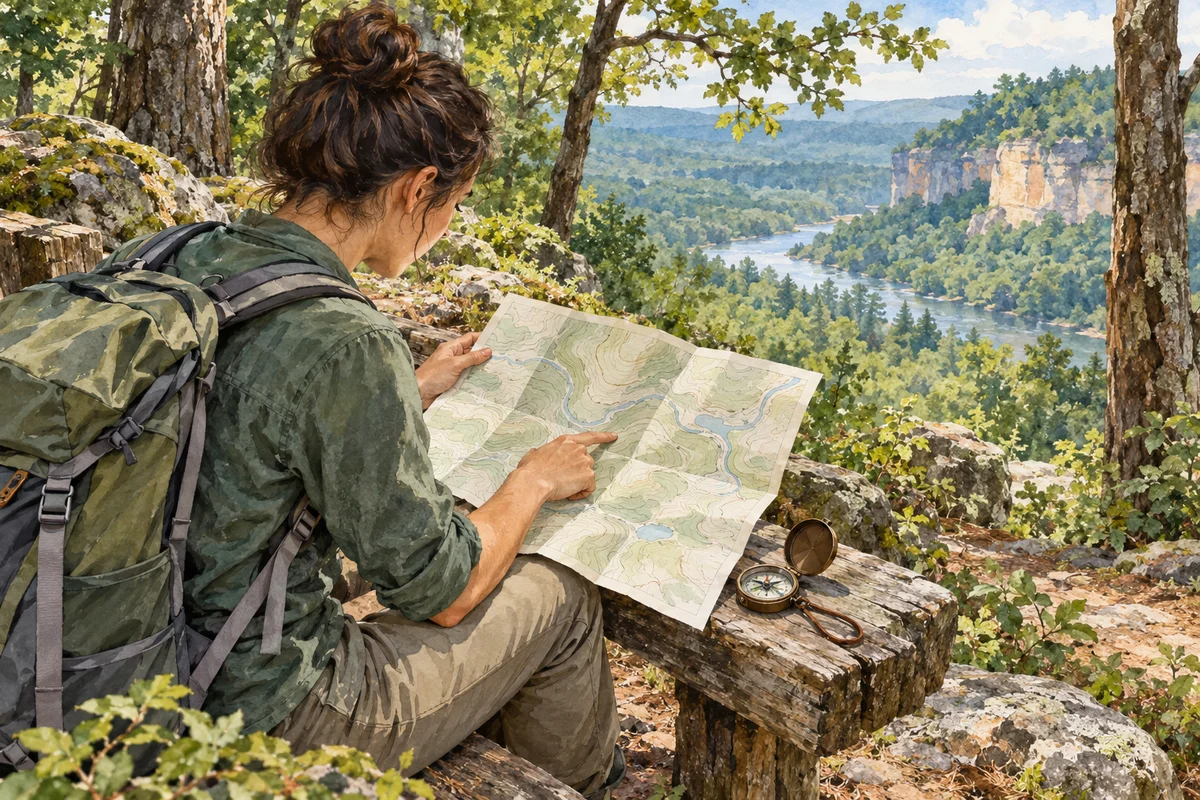
Begin with the scale
Zoom out to understand the wider region, then move closer only to compare practical sectors and routes. Weather, habitat and terrain data do not all have the same resolution, and a crisp screen boundary can look more precise than the underlying information. Avoid treating the centre of a cell as a target. MycoRadar summarises context across an area, while shade, ground cover and access can change within it. The final resolution always comes from careful observation on the ground.
Read layers as different questions
A weather layer asks what recent conditions were recorded or estimated. A habitat layer describes broader landscape context. Terrain helps compare exposure and route form, while observations document something reported at a particular time and precision. None of these layers independently confirms current presence. Toggle or compare them deliberately instead of blending every signal into one impression. When layers disagree, keep the disagreement visible and plan a field check rather than choosing whichever result best supports your hope.
- Check the map scale before interpreting detail.
- Open each layer's meaning and limitations.
- Compare at least two sectors.
- Match the map choice to a safe, legal route.
 Check the map scale before interpreting detail.
Treat observations as time-stamped records
An observation represents a report with a date and a level of location precision. It does not promise repetition nearby or later, and it should not be treated as a public collecting coordinate. Look at what the record contributes to the broader context, such as a documented period or habitat question. Protect sensitive places by avoiding unnecessary location sharing. Distribution data becomes more meaningful when used to understand patterns and uncertainty, not when reduced to a list of spots to visit.
Translate the map into a field plan
Choose a readable loop, a backup sector and one or two questions to verify, such as how exposure or habitat changes along the route. Save navigation information and check official weather, access and local regulations separately. If the ground looks different from the screen, record the difference and trust direct safety information. A successful map reading produces a flexible plan, not a demand that the landscape deliver a predicted result.
Sources and review

Related guides
Score explained

Understand the score
The score compresses several contextual signals so that sectors can be compared. It is not a percentage chance, inventory or food-safety rating.
Choosing a sector

Where to look
Look for a readable landscape rather than secret coordinates, then compare habitats, access and conditions while protecting sensitive places.
From screen to forest
Plan with MycoRadar
A good MycoRadar plan connects map interpretation with route safety, local rules and a simple method for checking assumptions on the ground.