Contents
 Contents
Soil moisture and mushrooms: reading an indicator carefully
A moisture indicator describes an area and a model. It must be checked against cover, litter and local differences without damaging the ground.
Understand what an indicator measures
Drought or soil moisture indicators combine measurements and models at a stated resolution. They do not measure every metre of woodland and do not see mushrooms. Review the trend and scale before comparing areas. A favourable map colour remains general information, not a reading made beside a tree.
Link rain with retained water
Rainfall amount is not enough. Previous conditions, wind, heat, slope, vegetation and soil properties influence retained water. Review the whole sequence and avoid a fixed delay after rain. Nearby areas may respond differently without either reading being wrong.
Observe without causing damage
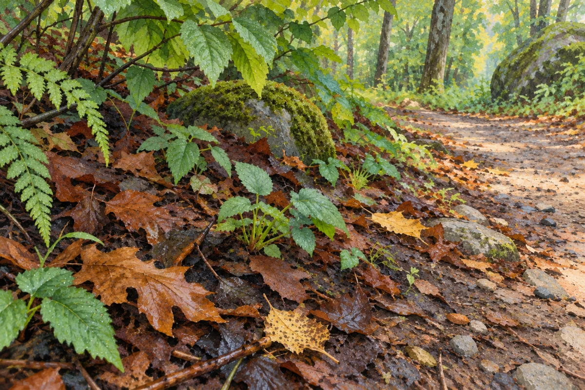
Outside, observe litter, covered and exposed portions and visible changes along the path. Do not dig, turn the soil unnecessarily or generalise from one surface sensation. Photograph the context and record how it differs from the conditions expected during planning.
- Check the indicator resolution.
- Read conditions before and after rain.
- Observe without digging.
- Record differences between map and field.
 Check the indicator resolution.
Accept local differences
Ground that is drier or wetter than expected is useful information. It may reflect model resolution, a very local variation or a recent change. Use the difference to adapt the loop and the next comparison, without concluding that a species is present, absent or edible. Compare the date of the indicator with later weather, since an older value may no longer describe the planned walk.
Sources and review

Related guides
Weather interpretation

After the rain
Rain can change local conditions, but its effect depends on what came before, where it fell and how the habitat retains or loses moisture.
One factor among several
Temperature
A single temperature describes neither an organism nor the soil. Trends and microhabitats matter more than a number presented as universal.
Habitat literacy
Forest habitats
Habitat gives an observation context, not a species name. Learn to describe visible forest features without filling gaps with assumptions.