Contents
 Contents
How to read conditions for a mushroom outing
A condition matters only in context. Combine several signals and verify them on the ground instead of treating one indicator as a forecast of mushrooms.
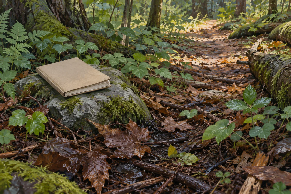
Understand what the map does not show
A conditions map does not see mushrooms below the canopy or predict a guaranteed emergence. It organises broad signals that may help you choose where to observe. Weather products, terrain and habitat layers work at different scales, while the forest floor can vary within a short distance. MycoRadar therefore indicates relative context, not biological certainty. Read each area as a hypothesis to test on foot, and be prepared for the ground to differ from what a screen suggested.
Combine rather than isolate signals
Recent rain alone, a favourable season alone or a promising habitat label alone is insufficient. Compare the sequence of weather, local exposure, visible forest structure and the time of year. Look for agreement between several pieces of context, then keep uncertainty explicit. A high-quality reading can still lead to an outing with no visible fungi. The practical objective is to choose a sector where observation is worthwhile, not to produce a confident claim about what will be found.
- Review recent conditions as a sequence.
- Compare slope, exposure and habitat layers.
- Look for agreement between several signals.
- Keep a nearby contrasting sector for comparison.
 Review recent conditions as a sequence.
Verify scale in the field
On arrival, pause and compare the mapped context with direct observations. Is the canopy open or closed? Does the litter feel dry or retain moisture? Has the area been disturbed, managed or made inaccessible? Record only visible facts, and avoid turning them into an unsupported explanation. A broad weather layer may be accurate for its purpose while missing a sheltered hollow or exposed ridge. Field notes supply the fine detail that a regional model cannot provide for a single step.
Learn from disagreement
When the field contradicts your expectation, do not discard the visit. Note what differed and revisit the reasoning behind your route. Perhaps the habitat classification was too broad for the exact place, recent rainfall was uneven, access changed the usable area or your visual impression needs comparison with another date. One observation cannot recalibrate a model, but it can improve your personal planning. The honest conclusion may simply be that the available signals were insufficient for that location.
Sources and review

Related guides
Weather interpretation

After the rain
Rain can change local conditions, but its effect depends on what came before, where it fell and how the habitat retains or loses moisture.
Habitat literacy
Forest habitats
Habitat gives an observation context, not a species name. Learn to describe visible forest features without filling gaps with assumptions.
Score explained

Understand the score
The score compresses several contextual signals so that sectors can be compared. It is not a percentage chance, inventory or food-safety rating.