Contents
 Contents
How to plan an outing with MycoRadar
A good MycoRadar plan connects map interpretation with route safety, local rules and a simple method for checking assumptions on the ground.
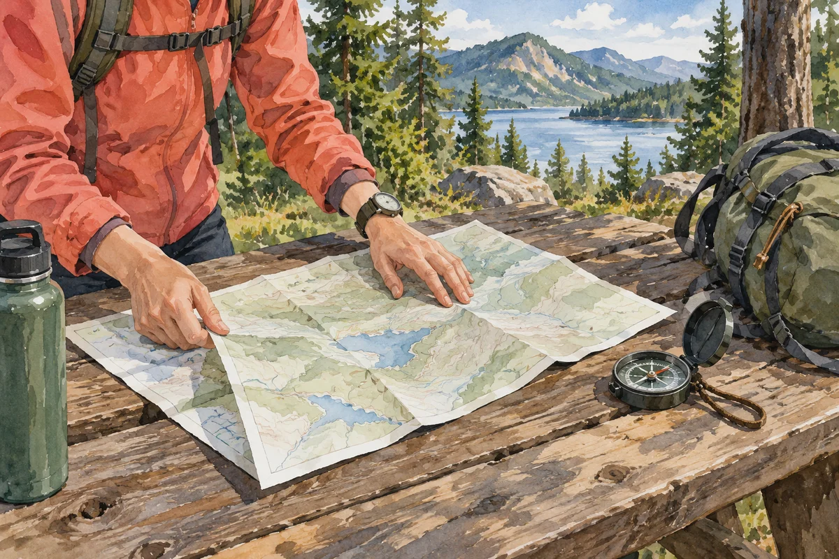
Start broad and compare
Open the map at regional scale and identify several sectors that fit the time available and the group's walking ability. Review the score explanation and layers for each one rather than jumping directly to the highest value. Consider travel, access and habitat variety. MycoRadar narrows attention but does not see mushrooms or every path condition. Comparing options creates room to adapt if the first sector is closed, unsuitable or different from what the map suggested.
- Choose two or three candidate sectors.
- Review each score and its contributing context.
- Check official weather and access.
- Select a route matched to the group.
 Choose two or three candidate sectors.
Create a route and a backup
Translate the selected sector into a practical loop with a clear start, return point and alternative. Save navigation details for limited reception and leave enough margin to observe without rushing. A backup can be a shorter route, a lower or more sheltered sector, or simply a later date. Do not create a route that depends on crossing private, closed or protected ground. The map choice only becomes useful when it supports an ordinary, responsible walking plan.
Carry field questions with you
Write one or two questions before leaving: does the mapped habitat match the visible forest, how does ground cover change between slopes, or where does recent moisture seem retained? These questions keep attention on evidence rather than a desired species. Photograph context, note differences and label unknowns honestly. If you encounter a specimen, use a complete observation method and keep any food-safety decision for qualified VAPKO control.
- Record the map expectation before the walk.
- Photograph habitat transitions and complete specimens.
- Note disagreements without forcing an explanation.
- Keep identification separate from the route score.
Close the learning loop
After returning, compare the planned context with your notes and photographs. Record which routes were practical, where the habitat differed and what information was missing. Do not judge the map solely by whether mushrooms appeared, because absence from one walk proves little. Use the review to choose a better comparison next time. Over several outings, MycoRadar becomes most valuable as a consistent planning framework that helps you ask clearer questions and preserve uncertainty rather than chase isolated results.
Sources and review

Related guides
Planning method

Plan an outing
A useful outing begins with a route and a question about the landscape, not with a promise that a desired mushroom will be waiting there.
Map literacy

Read the map
The map organises broad signals for comparison. Its job is to help you choose where to observe, not to reveal mushrooms hidden on the ground.
Before you leave
Outing checklist
A short written checklist prevents route details, local restrictions and observation essentials from disappearing behind the excitement of a forest visit.