Contents
 Contents
GPS and navigation for a mushroom outing in woodland
GPS supports orientation but replaces neither a map that is understood, a realistic route nor the decision to turn back when conditions change.
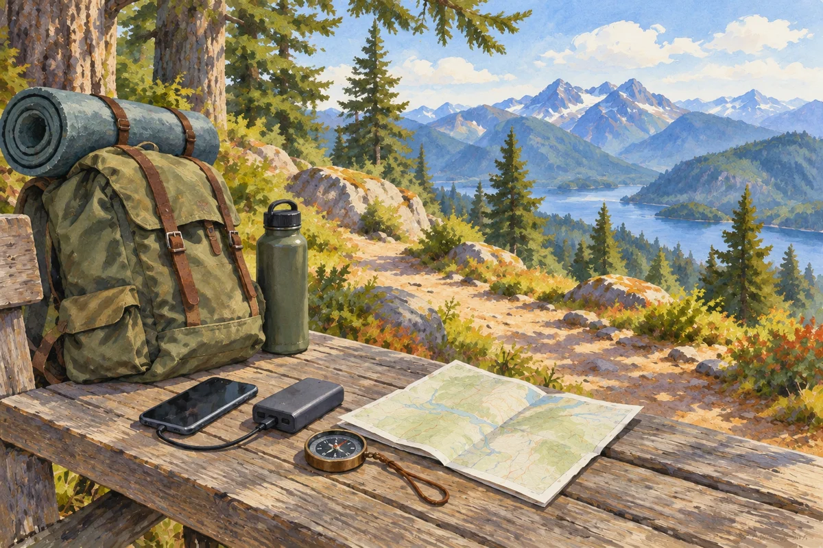
Prepare for no connection
Download the required map, check the battery and keep a backup before leaving coverage. Mark the start, paths, height gain, loop limits and return time. An application opened at the last moment is not preparation, especially in complex relief or beneath dense cover.
Understand the limits of the blue dot
The displayed position has uncertainty and may move when reception degrades. A mapped line does not guarantee that a path is open, maintained or permitted. Compare the screen with signs and terrain, return to the last certain point when in doubt and never follow an arrow into dangerous ground.
Set decision points
Choose places where the decision to continue, shorten or return will be based on time, weather and fatigue. Keep a clear alternative loop. Tell someone when appropriate and never let the search for a higher-ranked area pull the walk beyond the prepared plan.
- Download the map for offline use.
- Charge the phone and backup battery.
- Set return time and decision points.
- Check access on the ground.
 Download the map for offline use.
Protect locations and data
Coordinates for sensitive sites or rare observations should not be published without care. Record a general area when precision is unnecessary and check sharing settings. A GPS point grants no access right, guarantees no mushroom and should not concentrate visits in a fragile habitat. Keep the starting place and a simple route description outside the app so that a drained battery does not erase the plan.
Sources and review

Related guides
Planning method

Plan an outing
A useful outing begins with a route and a question about the landscape, not with a promise that a desired mushroom will be waiting there.
Before you leave
Outing checklist
A short written checklist prevents route details, local restrictions and observation essentials from disappearing behind the excitement of a forest visit.
Protected landscapes

Protected areas
Public access and collecting rights can change at a protected boundary.