Contents
 Contents
Elevation, relief and mushrooms: comparing accessible areas
Elevation and relief change context, weather and walking effort. They organise a comparison but do not determine a species.
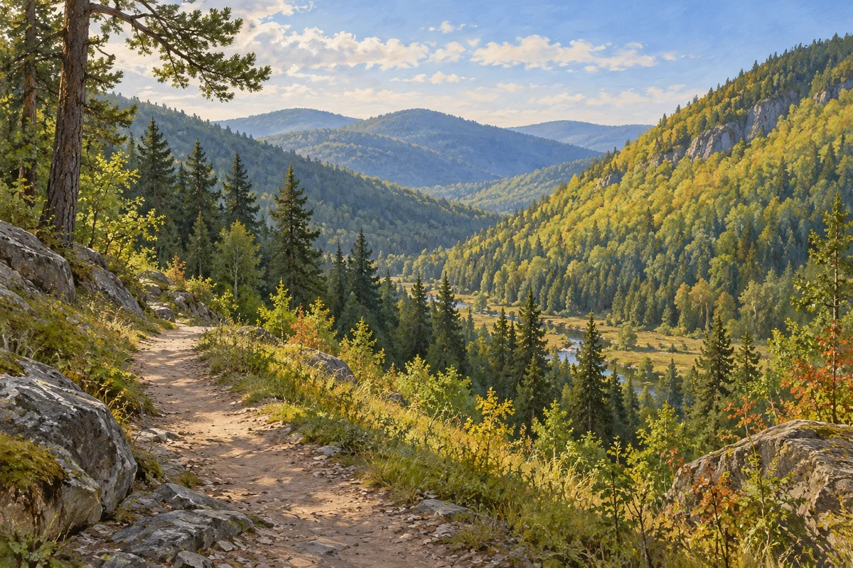
See a gradient, not a line
A displayed elevation does not create a sharp biological boundary. Local climate, exposure, cover, soil and habitat history change gradually and sometimes abruptly. Reject recipes that announce a species above or below one number. Use elevation bands to structure a comparison instead.
Add exposure and canopy
Two slopes at the same height may receive different light, wind and moisture. Also consider hollows, flatter ground, edges and changes in canopy without assigning a certain effect to each. Relief becomes useful when combined with recent weather and a habitat that has actually been observed.
Fit the route to the relief
Height gain adds time, changes effort and can reduce mobile coverage. Choose a loop suited to ability, paths and available daylight, with a lower or shorter alternative. No score or observation goal justifies continuing across slippery, exposed or poorly marked ground.
- Compare elevation bands.
- Add exposure and canopy.
- Allow time for height gain.
- Prepare a shorter alternative.
 Compare elevation bands.
Compare at an honest resolution
Topographic maps and atlases provide a general view with varying precision. Record transitions and an approximate area outside rather than false accuracy. One observation at a certain elevation cannot predict an entire slope, and one missing observation is not a distribution boundary. Treat every elevation label as a planning aid rather than a biological boundary.
Sources and review

Related guides
Choosing a sector

Where to look
Look for a readable landscape rather than secret coordinates, then compare habitats, access and conditions while protecting sensitive places.
Habitat relationships
Host trees
Fungi have varied relationships with trees and wood. Visible proximity is not enough to establish a relationship or an identification.
Map literacy

Read the map
The map organises broad signals for comparison. Its job is to help you choose where to observe, not to reveal mushrooms hidden on the ground.