Contents
 Contents
Is MycoRadar a free mushroom map app?
MycoRadar is free to open and designed to make field planning more informed, while keeping uncertainty and safety limits visible.
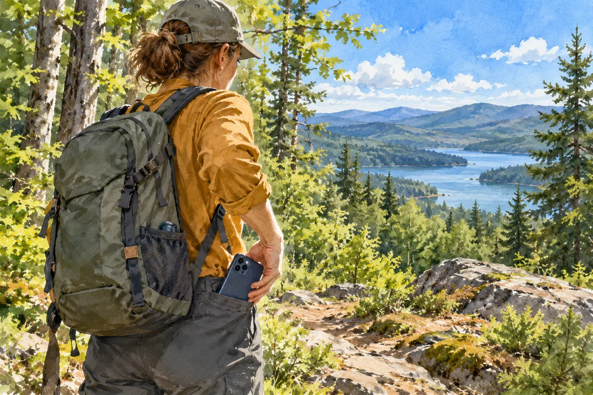
Open the core map for free
MycoRadar provides free access to its core planning experience so that you can compare sectors, read available conditions and prepare a field visit without paying to reveal a supposed secret spot. The product is designed around context rather than a harvest promise. You can explore the map, learn how signals are combined and use the public guides to improve observation.
Understand what free access includes conceptually
The value of the map lies in bringing several planning questions into one place: recent conditions, season, terrain, habitat context and available observations. These layers have different scales and limitations. MycoRadar helps you compare them, then sends you back to the field with a clearer question. A free result is still an interpretation aid, not evidence that a species is present at a selected point.
- Compare more than one sector.
- Open the score explanation before choosing.
- Save a backup route before leaving.
 Compare more than one sector.
Use guides as learning tools
MycoWiki articles and species guides can help you structure photographs, habitat notes and lookalike comparisons. They are written to keep limitations visible instead of turning a page view into an identification certificate. A guide may show which characters deserve attention, but it cannot examine your specimen or confirm edibility. Use the free material to prepare better questions and preserve complete evidence. When a consumption decision is involved, use a qualified VAPKO inspection centre.
Keep the app in its proper role
MycoRadar is most useful before and after a walk: before, to compare sectors and build a route; after, to review how the ground differed from expectations. During the visit, navigation safety, local instructions and direct observation take priority. The app never confirms presence or edibility, and a strong score should not influence a risky route or a food decision. Free access expands the opportunity to learn, while the responsibility to verify conditions and identifications remains unchanged.
Related guides
Map literacy

Read the map
The map organises broad signals for comparison. Its job is to help you choose where to observe, not to reveal mushrooms hidden on the ground.

Score explained
Understand the score
The score compresses several contextual signals so that sectors can be compared. It is not a percentage chance, inventory or food-safety rating.
From screen to forest
Plan with MycoRadar
A good MycoRadar plan connects map interpretation with route safety, local rules and a simple method for checking assumptions on the ground.